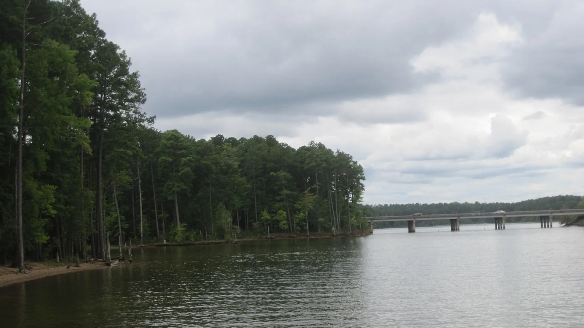
Raleigh's main water source is lower than during the summer's water restrictions, and 41% of Wake County is in extreme drought. The city has set no new limits.
Falls Lake, Raleigh’s main source of drinking water, has dropped to its lowest level since March 2008. The lake averaged 245.29 feet above sea level on Sunday, Nov. 8, according to the U.S. Geological Survey gauge above the dam. That is lower than at any point this summer, when the city had water restrictions in force.
The drought behind it has deepened fast. On the U.S. Drought Monitor map dated Nov. 3, 41% of Wake County was in extreme drought, the second-worst of the map’s five categories. Four weeks earlier, none of the county was.
The City of Raleigh said Monday that no water restrictions are in effect. “Raleigh’s water supply remains in a good position and there are no drought restrictions currently in effect,” the city said in a Raleigh Water notice. It asked customers to cut back on outdoor watering and to check for leaks before winter.
How low the lake is
The USGS gauge has kept a daily record of the lake level since September 2007. The Nov. 8 average of 245.29 feet is the lowest in that record since March 5, 2008, when the lake averaged 244.86 feet.
- July 5: 245.57 feet, the lowest point of the summer. Raleigh had water restrictions in force at the time.
- Aug. 3: 248.72 feet. The city lifted Stage 1 restrictions that day after rain filled the lake’s water supply pool to 84%, according to the city’s July 29 alert.
- Nov. 8: 245.29 feet, about 3.4 feet lower than when restrictions ended.
The Nov. 8 figure is provisional, the USGS says, and can still be revised.
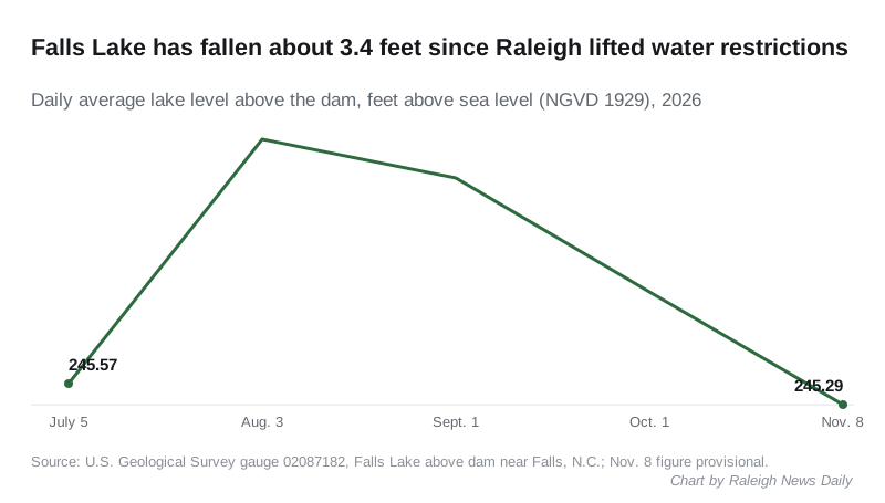
The chart’s Sept. 1 and Oct. 1 figures, 248.22 feet and 246.75 feet, come from the same USGS gauge.
The city decides on restrictions by how full the lake’s water supply pool is, under its Water Supply Plan, not by the lake level alone. Monday’s notice did not give a current percentage for the pool.
How the drought has spread in Wake County
The Drought Monitor is published every Thursday by the National Drought Mitigation Center, the U.S. Department of Agriculture and the National Oceanic and Atmospheric Administration. Its county figures for Wake show:
| Map date | Severe drought or worse | Extreme drought |
|---|---|---|
| Sept. 8 | 0% | 0% |
| Oct. 6 | 99.5% | 0% |
| Nov. 3 | 99.8% | 41.1% |
Extreme drought last covered part of the county on the July 21 map. At the worst of the spring and summer drought, in mid-June, almost 30% of Wake County was in exceptional drought, the top category.
Rain in the forecast
The National Weather Service in Raleigh forecasts dry weather through Veterans Day on Wednesday. It gives a 42% chance of showers Thursday and Thursday night, in its forecast for the city.
The next Drought Monitor map comes out Thursday, Nov. 12.
What it means for you
- There are no water restrictions in Raleigh right now. You can water your lawn, but the city asks you to water only when needed and to adjust for rainfall.
- Brown grass is not dead grass. Many lawns go dormant in cool, dry weather, the city said.
- Check for leaks before it freezes. The city suggests checking toilets, washing machine hoses, dishwasher connections and outdoor faucets, disconnecting garden hoses and covering exposed pipes.
- Questions or a possible violation: email Water.Conservation@raleighnc.gov or call Raleigh Water customer care at 919-996-3245.
If the city brings back restrictions, we will report the stage and the watering rules the same day. For weekend plans that do not depend on the weather, see things to do.
Have your say