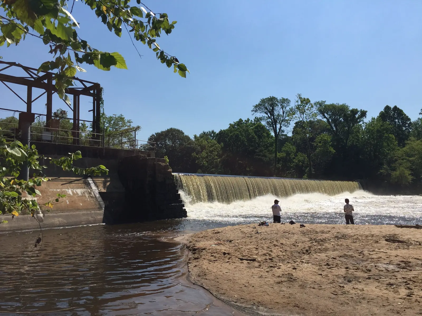
Raleigh's main walking and biking trails with distances and trailhead parking: the 27.5-mile Neuse River Trail, Walnut Creek, Crabtree Creek and lake loops.
Last checked Oct. 12, 2026. Distances and parking come from the City of Raleigh’s trail pages and N.C. State Parks, linked below. Trails close for repairs; check the city’s greenway alerts before you go.
Raleigh’s greenway system has more than 100 miles of trails, open dawn to dusk daily. Most are paved and shared by walkers, runners and cyclists. The big three are the Neuse River, Crabtree Creek and Walnut Creek trails, which meet near Anderson Point Park in east Raleigh. Our parks and trails guide covers the parks themselves.
Who to call
- Greenway maintenance problem (downed tree, washout): 919-996-4115
- Greenway planning and map requests: 919-996-3285
- Lake Johnson park office: 919-996-3141
- Emergency on a trail: 911
The long trails at a glance
| Trail | Length | Surface | Runs between |
|---|---|---|---|
| Neuse River Trail | 27.5 miles | Paved | Falls Lake Dam to the Wake-Johnston county line |
| Crabtree Creek Trail | 18 miles | Paved | Umstead State Park to Anderson Point Park |
| Walnut Creek Trail | 15.6 miles | Paved | Lake Johnson Park to the Neuse River Trail |
| Mine Creek Trail | 4.2 miles | Paved and unpaved | Crabtree Creek to Sawmill Road |
Lengths are the city’s.
Neuse River Trail
The Neuse River Trail is 27.5 miles of paved trail past the river, boardwalks through wetlands and farm fields, and it is part of the Mountains-to-Sea Trail across North Carolina, according to the city’s Neuse River Trail page. The city measures distances from Falls Lake Dam.
| Segment | Miles from Falls Lake Dam | Parking (lots unless noted) |
|---|---|---|
| Horseshoe Farm Nature Preserve to Buffaloe Road Athletic Park | 11.2 | 2900 Horseshoe Farm Road; 5812 Buffaloe Road (lot and street); 198 Trailhead Lane; 7700 Perry Creek Road |
| Buffaloe Road to Milburnie Dam | 14.9 | 2800 Abington Lane; 5428 Allen Drive |
| Milburnie Dam to Anderson Point Park | 17 | 3001 Stamford Green Drive (street); 22 and 20 Anderson Point Drive |
| Anderson Point Park to Auburn Knightdale Road | 22 | 1721 Riverview Road; 2901 Auburn Knightdale Road |
| Auburn Knightdale Road to the county line | 27.5 | 3241 Auburn Knightdale Road; 6090 Mial Plantation Road |
The trail crosses a bridge to Knightdale at mile 16.7, meets the Crabtree Creek Trail at 17.3 and the Walnut Creek Trail at mile 19. Knightdale is about nine miles east of downtown.
Crabtree Creek Trail
The Crabtree Creek Trail follows the creek southeast from William B. Umstead State Park to the Neuse River Trail at Anderson Point Park, passing Crabtree Valley Mall, Kiwanis Park, historic Lassiter Mill and North Hills Park (Crabtree Creek Trail page).
- West end parking: 4000 Lindsay Drive
- Along the way: 4924 Ebenezer Church Road; 2520 Noble Road (Kiwanis Park)
- East end parking: 22 Anderson Point Drive
Walnut Creek Trail
The Walnut Creek Trail runs more than 15 miles across south Raleigh from Lake Johnson Park to the Neuse River Trail, and its eastern section is part of the East Coast Greenway (Walnut Creek Trail page). It links to the Rocky Branch and Little Rock trails, the Centennial Bikeway Connector and NC State’s Centennial Campus.
- Walnut Creek Wetland Park trailhead: 950 Peterson St.
- East end: 6405 Poole Road
- Worthdale Park area: 584 Rose Lane; 574 Dacian Road
Lake loops
Lake Johnson Park, 4601 Avent Ferry Road (park page):
- About 2.8 miles of paved greenway loops the east side of the lake. Park at the Lake Dam lot, 1320 Lake Dam Road, or the south lot, 5041 Avent Ferry Road.
- About 1.5 miles of natural surface trail loops the west side. Park at the Thomas G. Crowder Woodland Center, 5611 Jaguar Park Drive. Bikes are allowed only on the greenway, not the natural trail.
- A one-mile Interpretive Poetry Trail winds through the woods on the west side.
- Dogs must be on a 6-foot leash. The park is open sunrise to sunset.
Shelley Lake Park, 1400 W. Millbrook Road: about 2 miles of paved trail around the lake, with restrooms on the trail and at Sertoma Arts Center. It connects to the Mine Creek Trail (park page).
Lake Lynn has a 1.2-mile loop, according to the city’s trail list.
Umstead State Park
William B. Umstead State Park, 8801 Glenwood Ave., has 34.5 miles of hiking trails and 13 miles of trails open to bikes and horses. Day use is free (N.C. State Parks). A bridge replacement has cut the South Turkey Creek multiuse trail off from the North Turkey Creek and Cedar Ridge trails, according to the state.
What this means for you
- Start a long ride at Anderson Point Park, where three trails meet.
- Trails close at dusk, and dusk comes early after clocks fall back Nov. 1.
- Report a downed tree or washout to 919-996-4115.
More: dog-friendly Raleigh, free things to do and getting around Raleigh.
Frequently asked questions
What is the longest greenway trail in Raleigh?
The Neuse River Trail, 27.5 miles of paved trail from Falls Lake Dam to the Wake-Johnston county line. It is part of the Mountains-to-Sea Trail.
Where do I park for the Neuse River Trail?
The city lists lots along the whole trail, including 2900 Horseshoe Farm Road, 5812 Buffaloe Road, 5428 Allen Drive near Milburnie Dam, 20 Anderson Point Drive, 2901 Auburn Knightdale Road and 6090 Mial Plantation Road.
How long is the walk around Lake Johnson?
About 2.8 miles of paved greenway loops the east side of the lake, and about 1.5 miles of natural surface trail loops the west side. Bikes are allowed only on the greenway.
How long is the Shelley Lake loop?
About 2 miles, paved. Park at Shelley Lake Park and Sertoma Arts Center, 1400 W. Millbrook Road.
What time do Raleigh greenways close?
City greenway trails are open dawn to dusk daily.
Have your say