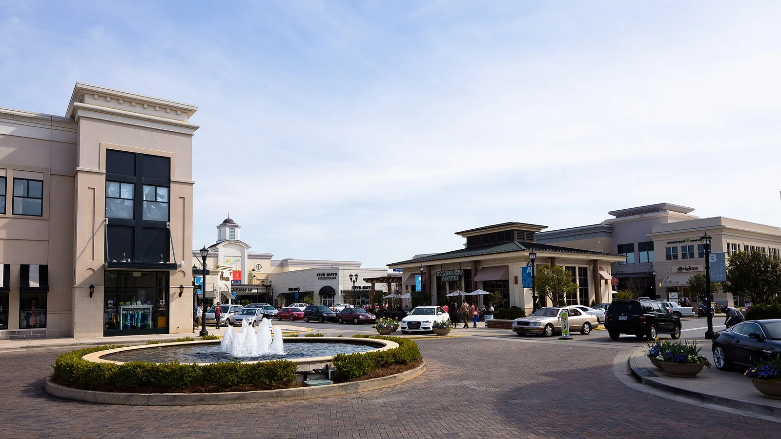
North Hills is in the city's Midtown plan area along I-440 and Six Forks Road, mostly zoned for Sanderson High, with a 27609 home value of $552,819.
Last checked Oct. 12, 2026. Sources: the City of Raleigh’s 2030 Comprehensive Plan, area plan boundaries and Neighborhood Registry, the Wake County Public School System’s 2026-27 attendance areas, the N.C. Department of Public Instruction’s 2025-26 accountability data, GoRaleigh schedule data, OpenStreetMap and Zillow Research.
North Hills is the shopping, office and apartment district beside Interstate 440 at Six Forks Road. OpenStreetMap names North Hills as a place, and the city plans for it as part of Midtown, under the Midtown-St. Albans Small Area Plan adopted Dec. 15, 2020.
What this means for you
- Zoned high school: mostly Sanderson High, 56.5% of state tests at grade level in 2025-26; part of the area is zoned for Broughton High. Check an address with the district’s base school lookup.
- Home value: $552,819 in ZIP code 27609 in August 2026, according to the Zillow Home Value Index.
- Nearest freeway exit: Interstate 440 Exit 8 at Six Forks Road, about 0.2 mile by road.
Part of our Raleigh neighborhoods guide.
Where it is
The city’s comprehensive plan says the Midtown plan covers the area between Atlantic Avenue on the east and Six Forks Road on the west, and from Crabtree Creek north to Millbrook Road. It covers about 4.9 square miles in the city’s area plan data. The plan focuses on walking, new public spaces, flooding and room for future housing and jobs, and calls for two new crossings of I-440, including a walking and biking bridge from Bush Street to Industrial Drive. OpenStreetMap maps North Hills, North Hills East and Midtown East as shopping areas inside it.
Of 16 points we checked across the plan area, 14 were in ZIP code 27609 and two, on the east side, in 27604.
Schools
North Hills is in the Wake County Public School System. We checked the same 16 points against the district’s 2026-27 attendance areas. Ten were zoned for Sanderson High and four for Broughton High; one each went to Southeast Raleigh High and Heritage High. Ten were zoned for Carroll Middle and four for Oberlin Middle. Elementary assignments were split, most often Douglas Elementary (eight points) and Joyner Elementary (four). Check your own address in the base school lookup.
Scores are the share of state tests at grade level or above in 2025-26 and the state’s growth rating, from the accountability data.
| Level | School | At grade level | Growth |
|---|---|---|---|
| Elementary | Douglas Elementary, 600 Ortega Road | 59.9% | Met |
| Elementary | Joyner Elementary | 69.5% | Not met |
| Middle | Carroll Middle, 4520 Six Forks Road | 52.2% | Exceeded |
| Middle | Oberlin Middle, 2816 Oberlin Road | 69.9% | Not met |
| High | Sanderson High, 5500 Dixon Drive | 56.5% | Exceeded |
| High | Broughton High, 723 Saint Marys St. | 73.3% | Exceeded |
The district average was 68.2%. More in our schools guide.
Home values
The Zillow Home Value Index is a modeled typical value for the middle third of homes, not a sale price. Zillow publishes no figure for North Hills alone.
| Area | August 2026 | August 2025 | Change |
|---|---|---|---|
| ZIP code 27609 | $552,819 | $543,282 | +1.8% |
| ZIP code 27604 | $337,619 | $347,374 | -2.8% |
| City of Raleigh, for comparison | $428,671 | $436,286 | -1.7% |
Trends are on our home prices page.
Parks and trails
- Midtown Park and The Commons, small open spaces in the North Hills district, are mapped in OpenStreetMap.
- Eastgate Park, 4200 Quail Hollow Drive, has a playground, a community center, tennis courts and walking trails, according to the city’s park locator data.
- Rothgeb Park, 2739 Rothgeb Drive, has greenway access.
- North Hills Park, 100 Chowan Circle, is about a mile west of Six Forks Road.
- The Mine Creek Greenway and Bent Creek Greenway run through the area, according to OpenStreetMap.
More in our parks and trails guide.
Getting around
- Interstate 440: Exit 8 at Six Forks Road is about 0.2 mile by road from the middle of North Hills; Exit 10 at Wake Forest Road is about 1.6 miles.
- Raleigh Municipal Building (222 W. Hargett St.): about 5.4 miles.
- Raleigh-Durham International Airport: about 14 miles by road.
- Buses: GoRaleigh Route 8 (Six Forks) and Route 24L (North Crosstown Connector) stop at the Midtown - North Hills stop. Route 2 (Falls of Neuse) runs on Wake Forest Road on the east side, and Route 23L (Millbrook Connector) on Millbrook Road, according to GoRaleigh schedule data.
Distances were measured with the OSRM routing engine on OpenStreetMap roads. They are distances, not drive times. More in our getting around guide.
Groceries and everyday stores
OpenStreetMap lists these in or next to the area:
- Supermarkets: Harris Teeter, 100 Saint Albans Drive; Wegmans, 1200 Wake Towne Drive; Trader Joe’s, 3000 Wake Forest Road; ALDI, 4031 Wake Forest Road.
- Pharmacy: Holly Park Pharmacy, 3058 Wake Forest Road.
- Shopping: North Hills, North Hills East, Midtown East and the Holly Park Shopping Center.
Homeowners and neighborhood groups
The city’s Neighborhood Registry lists eight groups inside the Midtown plan area, including the Hill and Hollow Community Watch (721 homes), the Farrior Hills Garden Club (160), Pinecrest (146), the Anderson Forest HOA (44) and the Crabtree Heights Community (47).
How we built this page
OpenStreetMap names North Hills; the boundary used for ZIP codes and school zones is the city’s adopted Midtown-St. Albans plan area, checked at 16 points. A home near a zone line can differ.
Frequently asked questions
What high school is North Hills in Raleigh zoned for?
Ten of 16 points we checked across the city’s Midtown plan area were zoned for Sanderson High and four for Broughton High in the Wake County Public School System’s 2026-27 attendance areas. Check a specific address with the district’s lookup.
What ZIP code is North Hills in Raleigh?
North Hills is in ZIP code 27609; a small part of the Midtown plan area on the east side is in 27604.
Is North Hills a good place to live?
North Hills is a shopping, office and apartment district in the city’s Midtown plan area, beside I-440 Exit 8. Most of the area is zoned for Sanderson High, where 56.5% of state tests were at grade level in 2025-26, and the typical home value in ZIP code 27609 was $552,819 in August 2026, according to Zillow.
What is Midtown Raleigh?
Midtown is the name of the city’s 2020 area plan for the land between Atlantic Avenue and Six Forks Road, from Crabtree Creek north to Millbrook Road, which includes North Hills.
Have your say