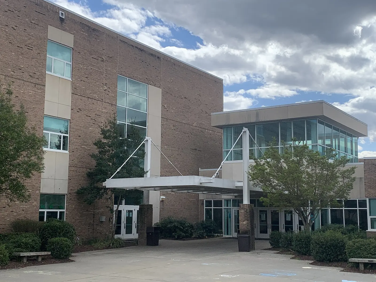
Wakefield is in northeast Raleigh along Falls of Neuse Road near the Neuse River, zoned for Wakefield High, with a 27614 home value of $678,013.
Last checked Oct. 12, 2026. Sources: the City of Raleigh’s 2030 Comprehensive Plan, area plan boundaries and Neighborhood Registry, the Wake County Public School System’s 2026-27 attendance areas, the N.C. Department of Public Instruction’s 2025-26 accountability data, GoRaleigh and GoTriangle schedule data, OpenStreetMap and Zillow Research.
Wakefield is the area of homes, schools and shopping centers along Falls of Neuse Road in northeast Raleigh, between the Neuse River and Capital Boulevard, on the edge of Wake Forest. The city’s Wakefield Small Area Study covers it, and the city’s Neighborhood Registry lists the Wakefield Plantation Community Association, with 4,637 homes, the largest single entry in the registry around it.
What this means for you
- Zoned high school: Wakefield High, 63.7% of state tests at grade level in 2025-26. Check an address with the district’s base school lookup.
- Home value: $678,013 in ZIP code 27614 in August 2026, according to the Zillow Home Value Index.
- Nearest freeway exit: U.S. 1 (Capital Boulevard) Exit 124 at Dr. Calvin Jones Highway, about 2.9 miles by road; Interstate 540 Exit 14 at Falls of Neuse Road is about 4.3 miles.
Part of our Raleigh neighborhoods guide.
Where it is
The city’s comprehensive plan says the Wakefield study covers the area along Falls of Neuse Road between the Neuse River and Capital Boulevard, about 0.95 square mile in the city’s area plan data. Its goals are safety, more crossings for people on foot and on bikes, and better access to greenways. It calls for new crosswalks on Falls of Neuse Road at Village Pines Lane, Wakefield Pines Drive, Dunard Street and Forest Pines Drive, a side path along Falls of Neuse Road from the Neuse River Greenway to the Wakefield Crossing and Wakefield Commons shopping centers, and extending the Richland Creek Greenway north to North Forest Pines Elementary.
All 16 points we checked inside the plan area were in ZIP code 27614. In a wider box around it, eight of 17 points were in 27587, the ZIP code that carries Wake Forest addresses. A Wake Forest mailing address does not by itself mean a home is outside Raleigh; check the parcel on Wake County’s iMAPS map.
Schools
Wakefield is in the Wake County Public School System. Wakefield Elementary, Wakefield Middle and Wakefield High sit side by side on Wakefield Pines Drive. All 16 points we checked in the plan area were zoned for Wakefield High in the district’s 2026-27 attendance areas. Nine were zoned for Wake Forest Middle and seven for Wakefield Middle; nine for Forest Pines Drive Elementary and seven for Wakefield Elementary. In a wider check, two of 17 points were zoned for Millbrook High. Check your own address in the base school lookup.
Scores are the share of state tests at grade level or above in 2025-26 and the state’s growth rating, from the accountability data.
| Level | School | At grade level | Growth |
|---|---|---|---|
| Elementary | Wakefield Elementary, 2400 Wakefield Pines Drive | 53.9% | Not met |
| Elementary | Forest Pines Drive Elementary, 11455 Forest Pines Drive | 54.3% | Exceeded |
| Middle | Wakefield Middle, 2300 Wakefield Pines Drive | 73.3% | Met |
| Middle | Wake Forest Middle | 52.5% | Not met |
| High | Wakefield High, 2200 Wakefield Pines Drive | 63.7% | Exceeded |
The district average was 68.2%. More in our schools guide.
Home values
The Zillow Home Value Index is a modeled typical value for the middle third of homes, not a sale price. Zillow publishes no figure for Wakefield alone.
| Area | August 2026 | August 2025 | Change |
|---|---|---|---|
| ZIP code 27614 | $678,013 | $676,996 | +0.2% |
| ZIP code 27587 (Wake Forest addresses) | $508,282 | $512,457 | -0.8% |
| City of Raleigh, for comparison | $428,671 | $436,286 | -1.7% |
Trends are on our home prices page.
Parks and trails
- The Neuse River Greenway runs along the Neuse River about 1.5 miles from the schools campus, according to OpenStreetMap.
- The city’s canoe launch at Falls Lake, 12028 Falls of Neuse Road, has greenway access, according to the city’s park locator data.
- Forest Ridge Park, 2100 Old N.C. 98, has a playground and walking trails.
More in our parks and trails guide and walking and biking trails guide.
Getting around
- U.S. 1 (Capital Boulevard): Exit 124 at Dr. Calvin Jones Highway is about 2.9 miles by road from the Wakefield schools campus, and Exit 125 at Durham Road is about 3 miles.
- Interstate 540: Exit 14 at Falls of Neuse Road is about 4.3 miles.
- Raleigh Municipal Building (222 W. Hargett St.): about 14 miles.
- Raleigh-Durham International Airport: about 17 miles by road.
- Buses: we found no GoRaleigh or GoTriangle stop inside the area in the agencies’ current schedule data.
Distances were measured with the OSRM routing engine on OpenStreetMap roads. They are distances, not drive times. More in our getting around guide.
Groceries and everyday stores
OpenStreetMap lists these in or next to the area:
- Supermarkets: Food Lion, 13200 Falls of Neuse Road; Wegmans, 11051 Ligon Mill Road.
- Pharmacy: Walgreens, 2901 Wakefield Pines Drive.
- Shopping: Wakefield Crossing and Wakefield Commons, named in the city’s plan, and the Shoppes at Caveness Farms.
Homeowners and neighborhood groups
The city’s Neighborhood Registry lists the Wakefield Plantation Community Association (4,637 homes), the Village of Wakefield (528), Edgewood Townhomes Association (100), Kingston at Wakefield Plantation HOA (94), Glenstone at Wakefield Plantation (89) and Magnolia at Wakefield HOA (39) in and around the area.
How we built this page
The plan area is the city’s Wakefield study area, checked for ZIP codes and school zones at 16 points, with a wider box of 17 points around it; a home near a zone line can differ. Neighborhood names come from the city’s registry.
Frequently asked questions
What high school is Wakefield in Raleigh zoned for?
All 16 points we checked in the city’s Wakefield plan area were zoned for Wakefield High in the Wake County Public School System’s 2026-27 attendance areas, where 63.7% of state tests were at grade level in 2025-26.
What ZIP code is Wakefield in Raleigh?
The Wakefield plan area along Falls of Neuse Road is in ZIP code 27614. Farther east, some Wakefield homes have Wake Forest 27587 addresses.
Is there a bus to Wakefield in Raleigh?
We found no GoRaleigh or GoTriangle stop inside the Wakefield area in the agencies’ current schedule data.
How far is Wakefield from downtown Raleigh?
About 14 miles by road from the Wakefield schools campus to the Raleigh Municipal Building, measured on OpenStreetMap roads.
Have your say